From Satellites to Soil: How Akole Fire Watch is Transforming Conservation in the Western Ghats
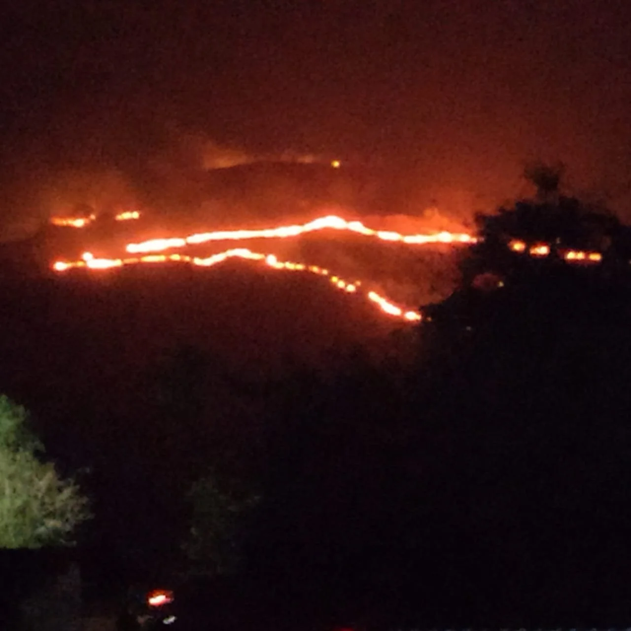
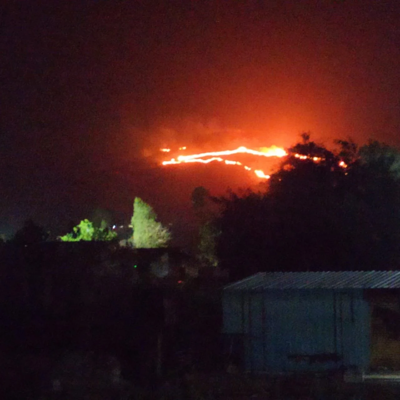
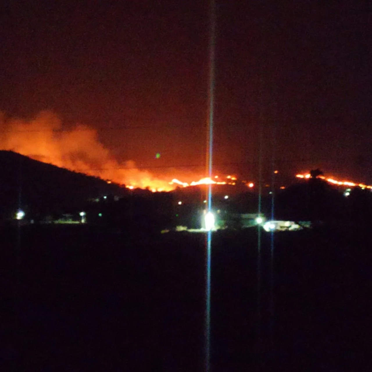
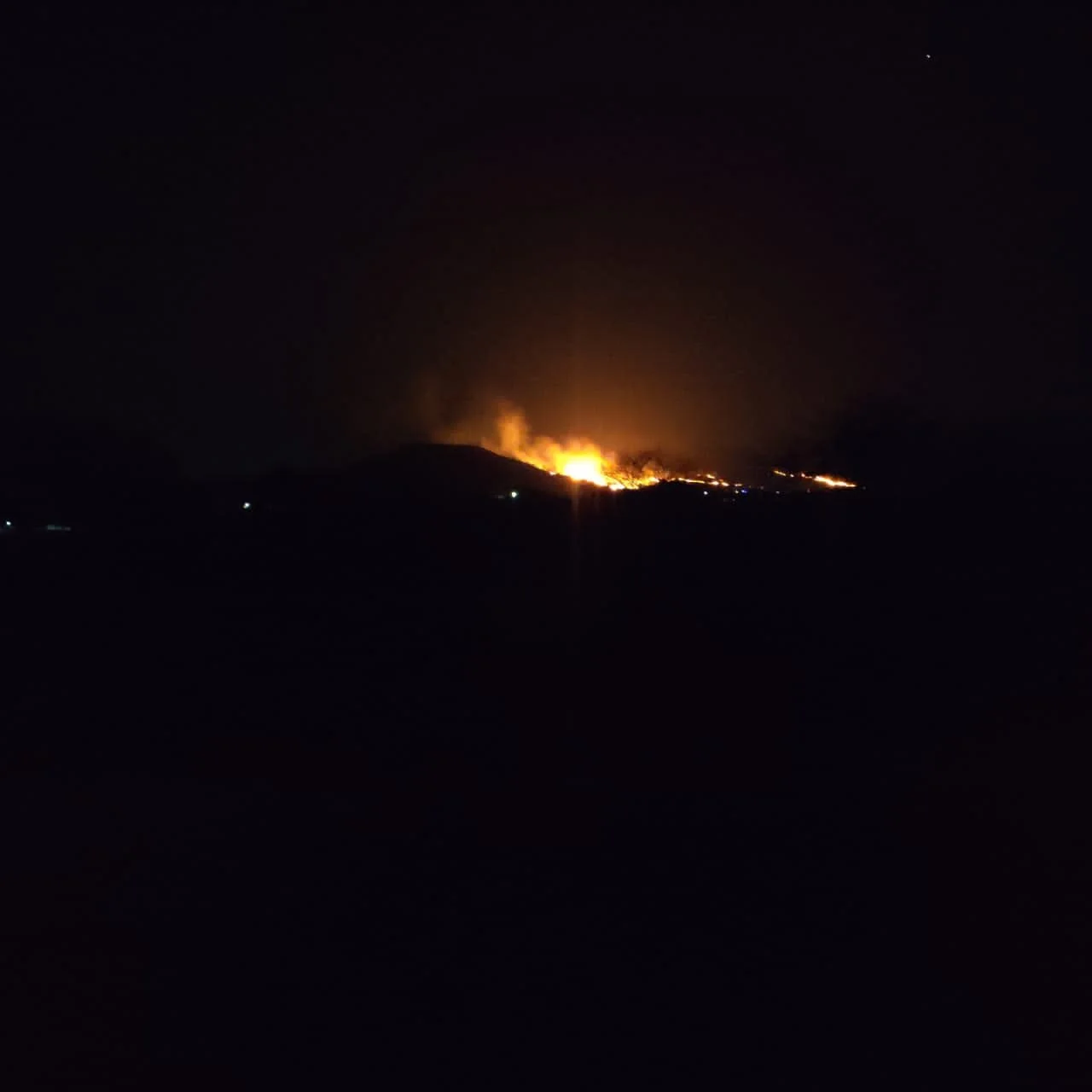
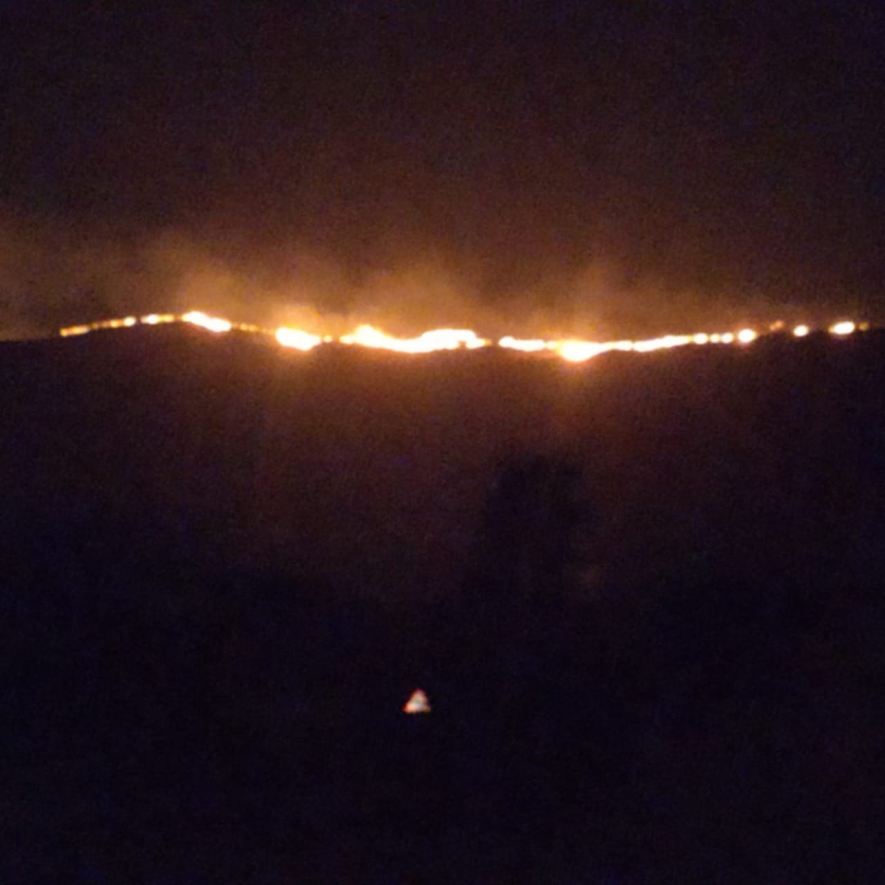
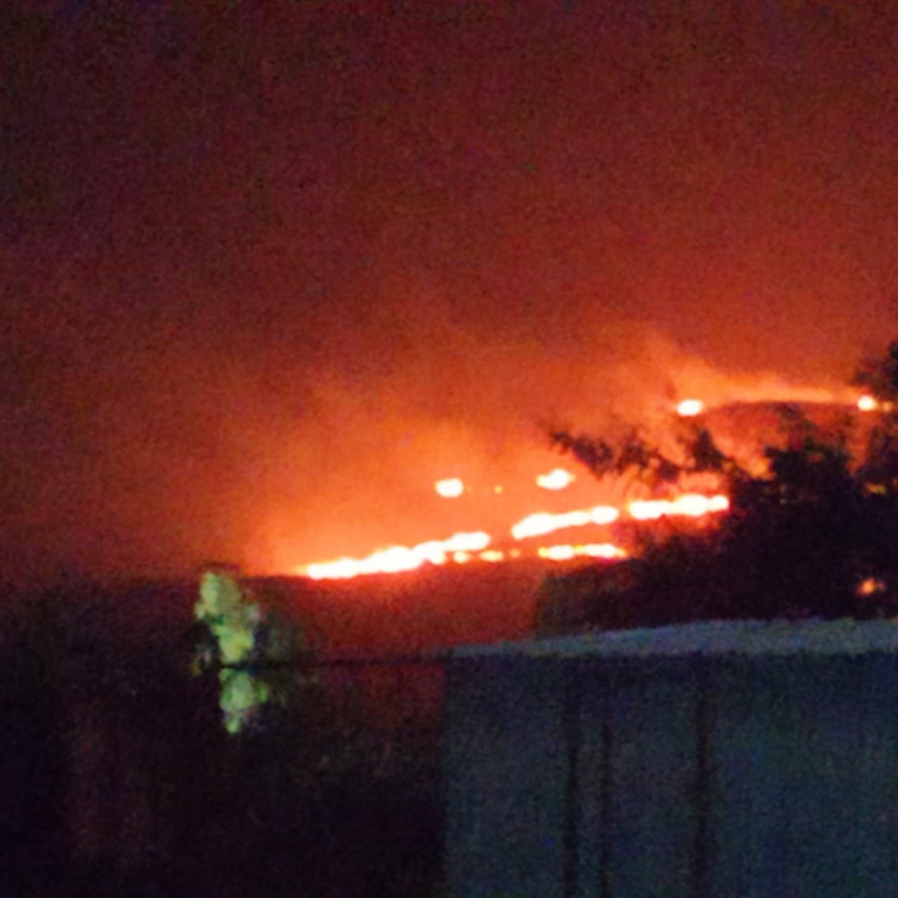
Every year between February and May, the hills of Akole Taluka in Maharashtra are deliberately set on fire.
For generations, this practice has been justified by a belief that burning sterilizes the soil and produces fresh, nutritious grass before the monsoon. In villages such as Palsunde, this tradition is not viewed as destruction, but as land management.
However, Akole lies within the northern stretch of the Western Ghats, one of the most ecologically significant mountain systems in the world.
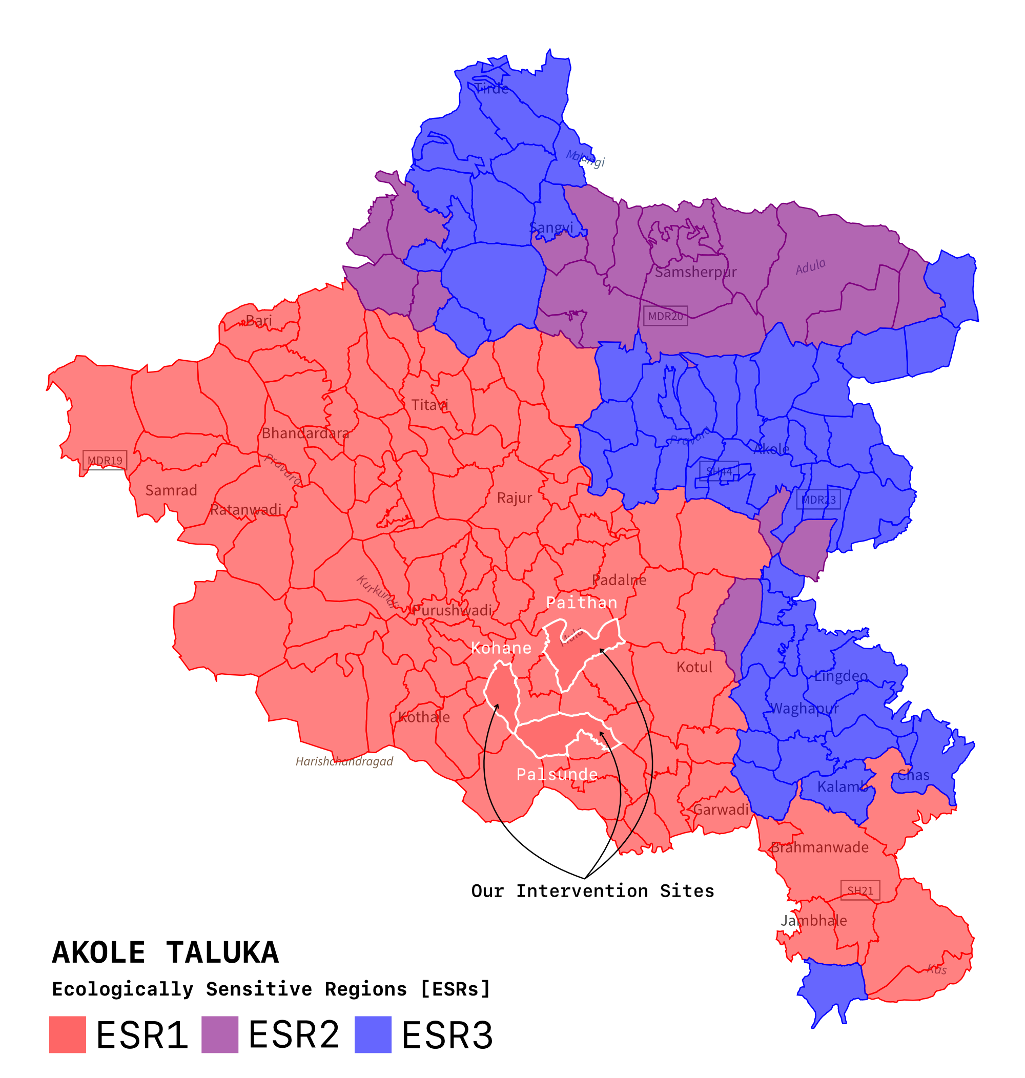
The Western Ghats are a UNESCO World Heritage landscape and one of the world's eight "hottest hotspots" of biodiversity, containing critically vulnerable tracts officially designated as highest-priority Ecologically Sensitive Regions (ESR-1). More importantly, they function as the hydrological backbone of peninsular India. These hills regulate monsoon infiltration, recharge aquifers, and sustain perennial streams downstream. They are not isolated grazing lands. They are watershed engines.
Recent comprehensive studies by leading Indian ecologists reveal a severe regional crisis: over the past three decades, the Western Ghats has lost more than 12 percent of its contiguous interior forest cover due to unscientific land use. Repeated burning is therefore not merely a local agricultural act. It is a disturbance to a fragile hydrological and ecological system that supports millions.
This tension between tradition and ecological stability led us to a direct scientific question: Does annual hill burning enrich the soil, or does it degrade the watershed?
Molecular Evidence from the Soil
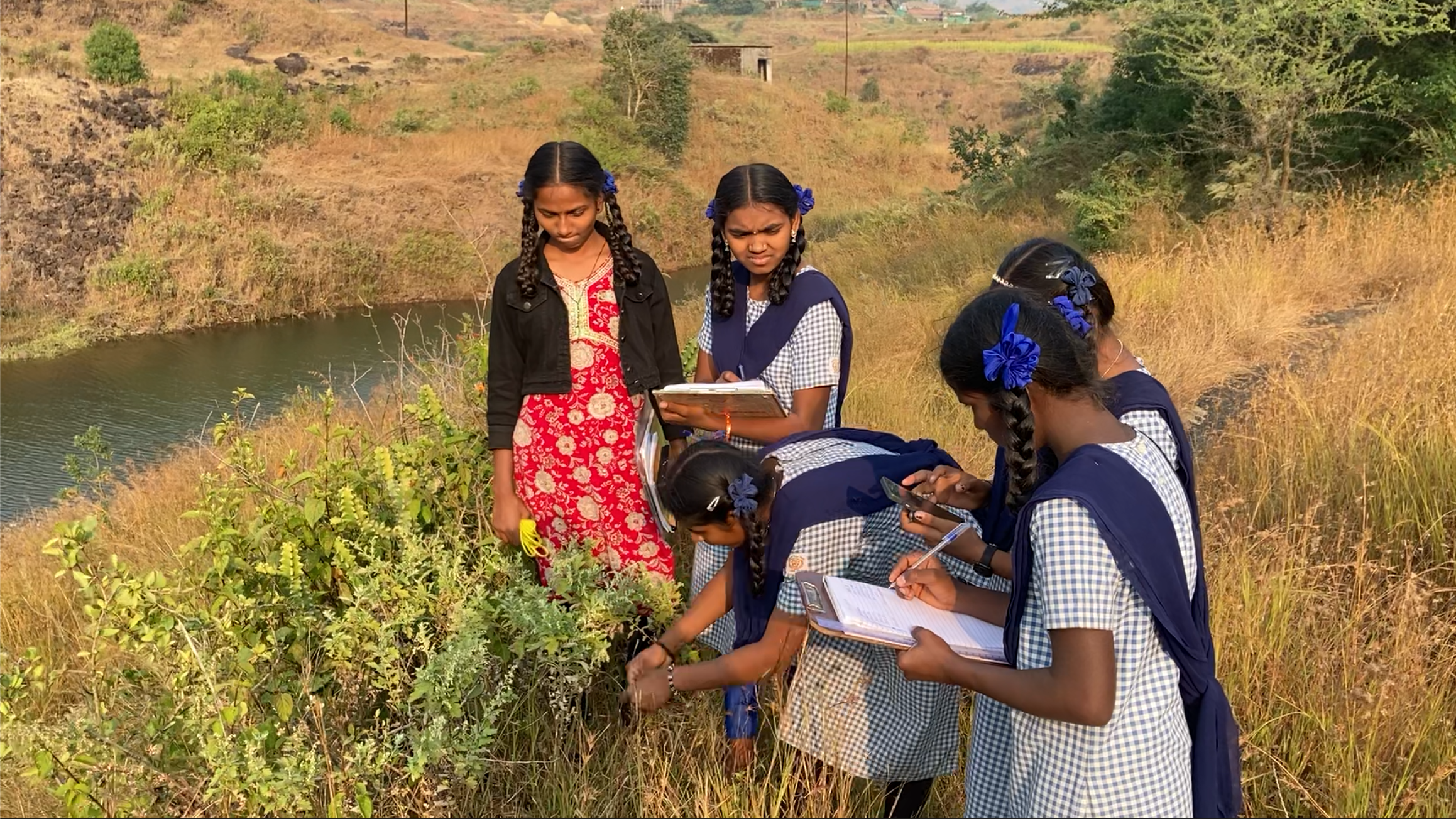
We collected paired soil samples from burned and unburned hill slopes across Palsunde and subjected them to chemical and molecular analysis, including pH measurement, Point of Zero Charge (PZC), FTIR spectroscopy, Raman spectroscopy, and X-Ray Diffraction (XRD).
The results were unambiguous.
1. The "Green Flush" Is a Short-Term Nutrient Pulse
Burning produces ash, which temporarily releases surface nutrients and causes rapid grass regrowth. However:
Nitrogen is volatilized and permanently lost.
Soil Organic Matter (SOM) decreases significantly.
Long-term fertility declines despite short-term visual greening.
2. Destruction of Soil Organic Matter
FTIR and Raman spectra revealed the disappearance of aliphatic C-H stretching bands (~2920 cm⁻¹), indicating the combustion of energy-rich organic components. These were replaced by signatures consistent with charred, chemically inert carbon structures.
This conversion of living organic matter into inert char has major implications:
Reduced microbial activity.
Reduced water retention.
Collapse of soil aggregation.
Increased bulk density.
Soil without active organic matter cannot function as a hydrological sponge.
3. Severe Chemical Alkalisation
XRD detected calcite formation, a direct fingerprint of ash deposition. Burned soils showed average pH levels rising to ~8.8, compared to significantly lower values in unburned samples.
At such alkalinity:
Iron and manganese become chemically unavailable.
Micronutrient lock-up reduces forage quality.
Long-term productivity declines.
4. Hydrological Destabilisation
Intact forest soils in the Western Ghats maintain porosity and infiltration capacity. When organic matter burns away:
Soil structure collapses.
Infiltration decreases.
Surface runoff increases.
Perennial streams risk becoming seasonal.
This is not just soil degradation. It is watershed destabilization.
The Fire-Lantana Feedback Loop
Burned, destabilized slopes create ideal conditions for Lantana camara, a highly invasive, fire-adapted shrub.
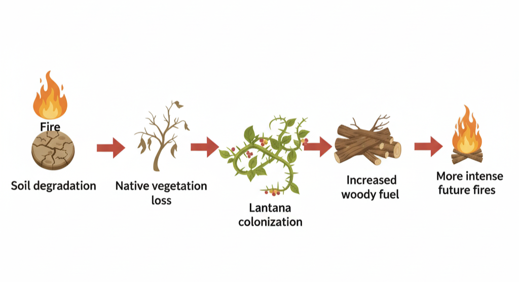
This creates a reinforcing ecological loop: Fire ➔ Soil degradation ➔ Native vegetation loss ➔ Lantana colonization ➔ Increased woody fuel ➔ More intense future fires.
This is a disturbance amplification cycle. Once established, it becomes progressively harder to reverse.
From Observation to Infrastructure: The Akole Fire Watch
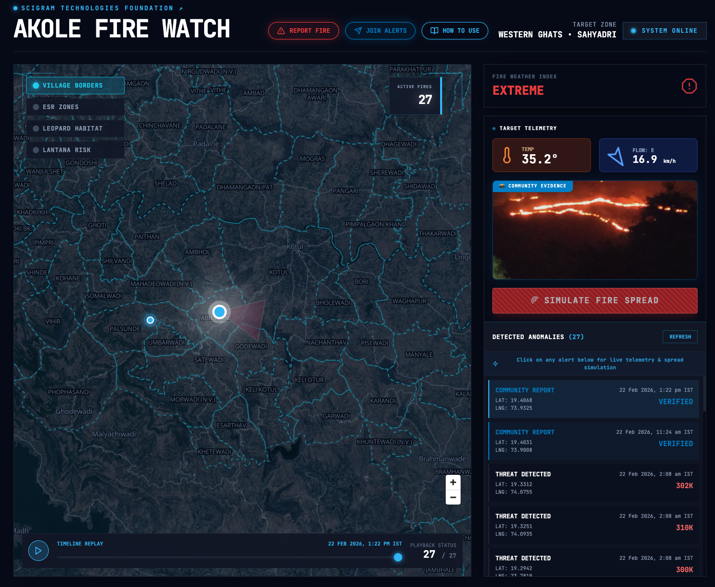
Scientific evidence alone does not change behavior. We therefore built a real-time ecological observability platform: Akole Fire Watch, hosted at metaknowledger.org.
This is not simply a fire map. It is a unified sensing system integrating satellite fire detection, community ground truth, meteorological overlays, ecological risk layers, and local-language reporting tools.
Core Features
Dual-Source Live Fire Map: Displays Red markers for NASA MODIS and VIIRS thermal anomalies, and Cyan markers for verified community reports.
Ecological Context Layers: Users can toggle village boundaries, Ecologically Sensitive Region zones (ESR-1, 2, 3), leopard habitat corridors, and Lantana risk overlays. This transforms fire from an isolated event into an ecologically contextualized event.
Marathi Telegram Reporting Bot (@Scifirealerts_bot): A two-way Telegram bot allows villagers to share their live GPS location, upload photo or video evidence, and submit reports entirely in Marathi. Reports are synchronized to the dashboard after validation.
Automated Alert Channel (@scifirealerts): A broadcast channel pushes near real-time alerts converted to Indian Standard Time when satellite detections occur.
Fire Spread Projection: When a fire marker is selected, live wind data from Open-Meteo is used to generate a directional spread projection. This projection assumes short-term constant wind vectors and does not incorporate terrain modeling. It is intended for rapid directional awareness, not predictive wildfire simulation. It is a risk-orientation tool, not a forecasting engine.
Governance and Data Ethics
The platform does not collect personal data beyond voluntary fire reports.
GPS data is event-based, not continuously tracked.
Media uploads are moderated before public visibility.
The system is non-punitive in intent.
Its purpose is collaborative ecological preservation, not surveillance or enforcement.
Early Community Impact and Building Trust
The system has already begun shifting engagement patterns:
Villagers are using the Marathi bot to ground-truth satellite detections.
Fire alerts are reaching forest guards and local authorities faster than traditional communication channels.
Public visibility is challenging the narrative that burning is harmless.
Technology entered the village not through enforcement, but through trust. Recently, this holistic approach culminated in a beautiful community moment during a three-day Saptah observance for Shivratri in Palsunde village.
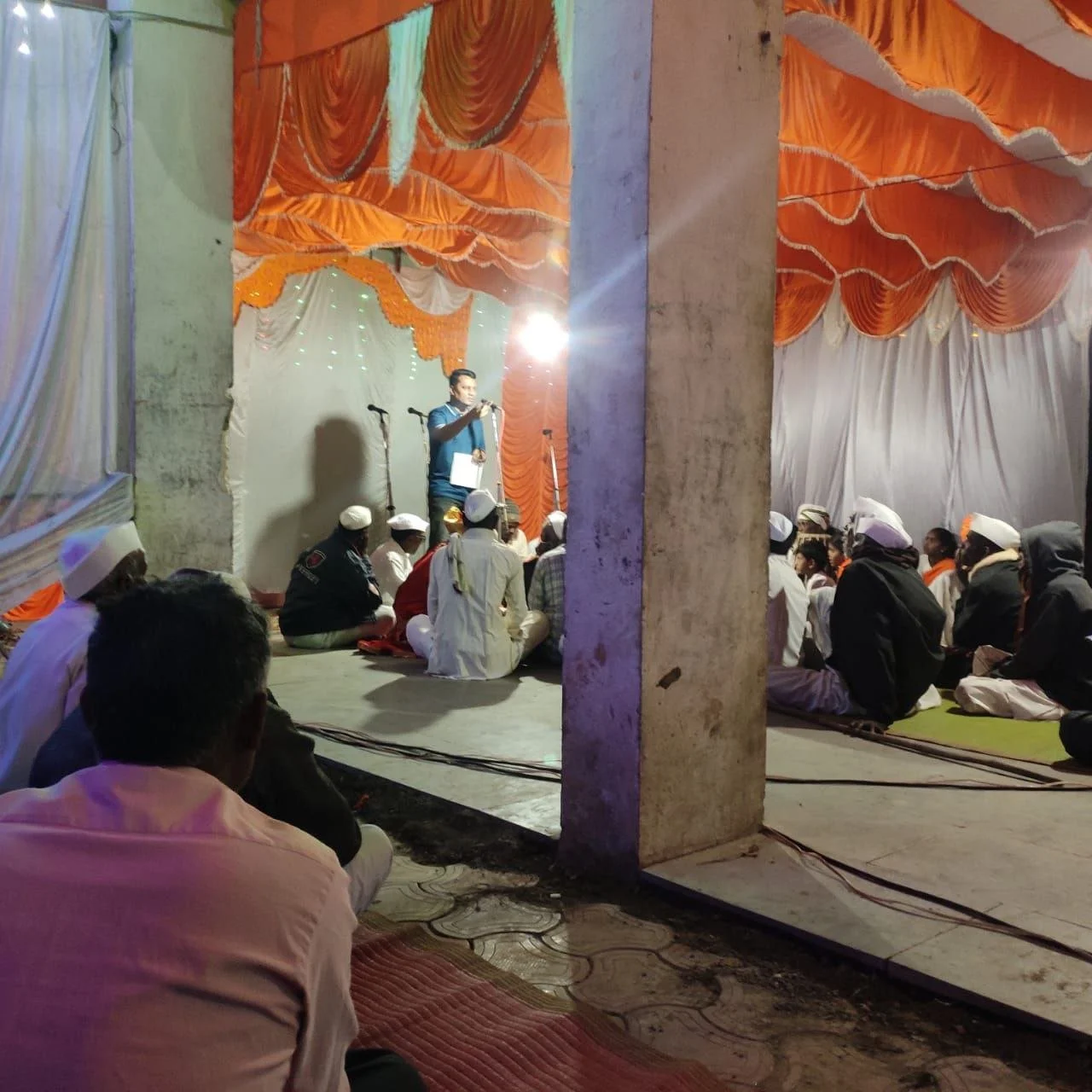
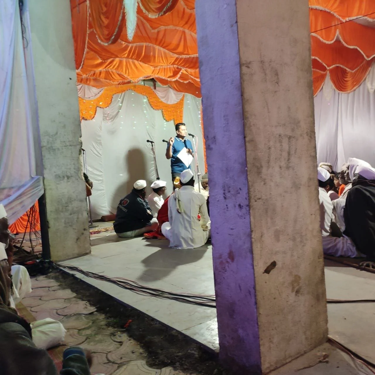
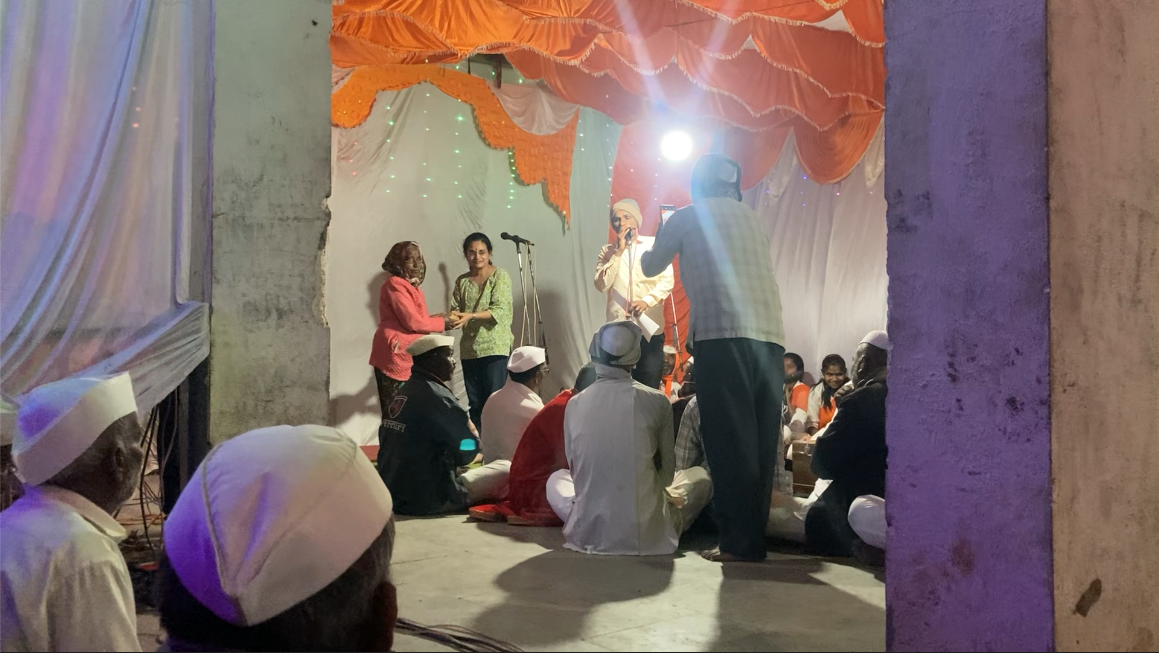
Our team was invited to the event by local school teachers and villagers, partially to be thanked for our ongoing educational efforts. Just days prior, a local student we mentored won the first-ever Taluka and District-level first prize for a Bioplastics project, bringing immense pride to the entire village. Standing on this foundation of mutual respect, we were given the platform amidst the bhajans to gently urge the community to protect their sacred hills.
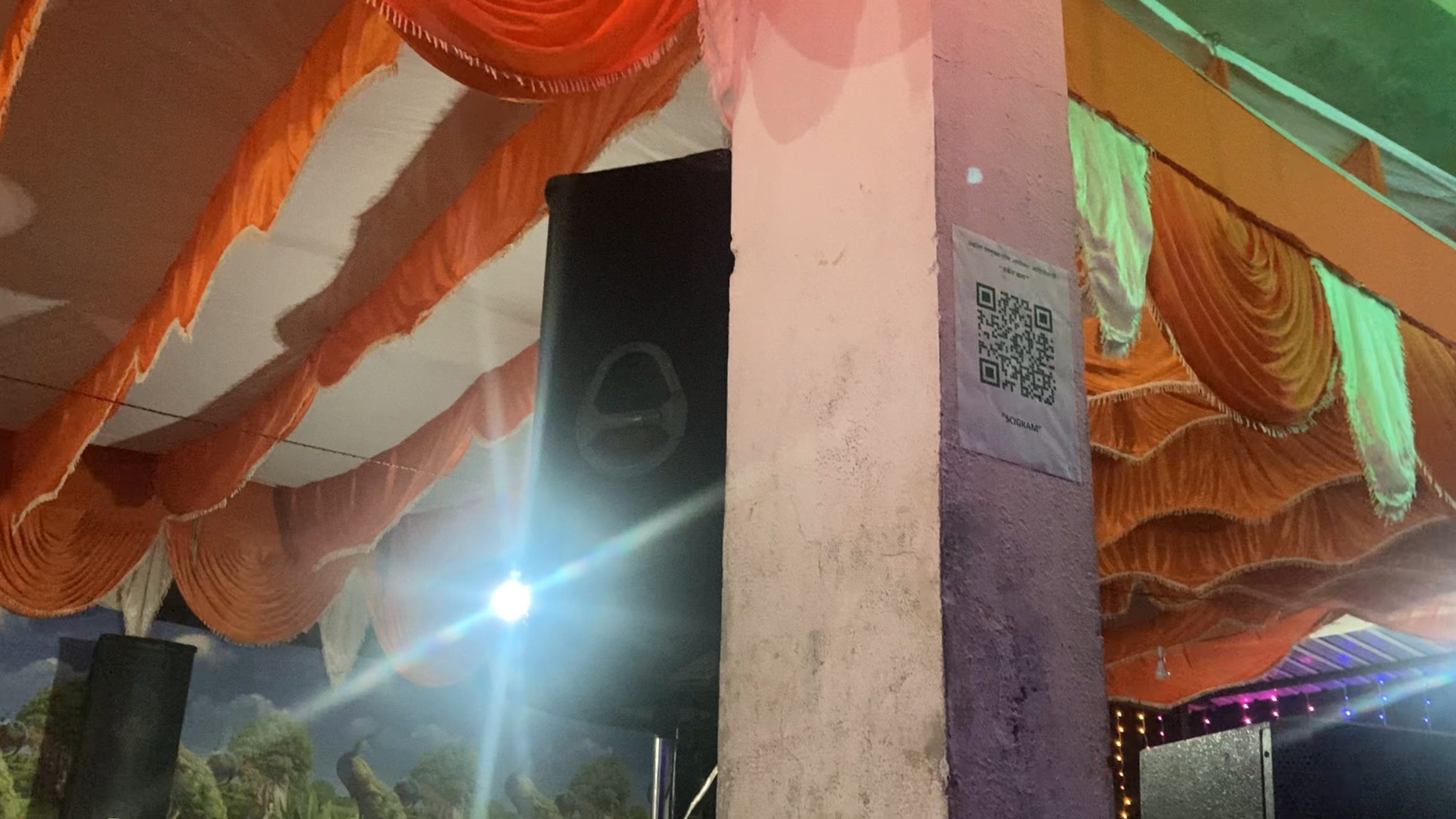
We translated our digital efforts into physical action by pasting QR codes to the Akole Fire Watch website directly on the pillars and walls of the temple. Villagers can now scan and immediately view active fires in their region.
Part of a Larger Ecological Intelligence Framework
Akole Fire Watch is one component of a broader effort.
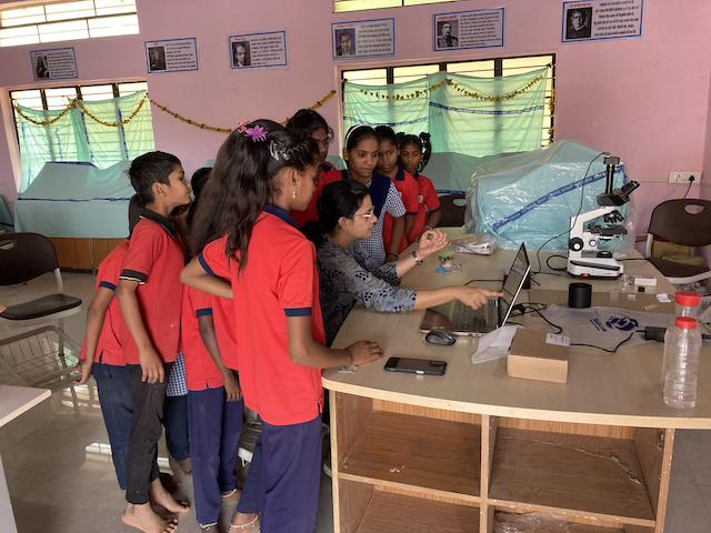
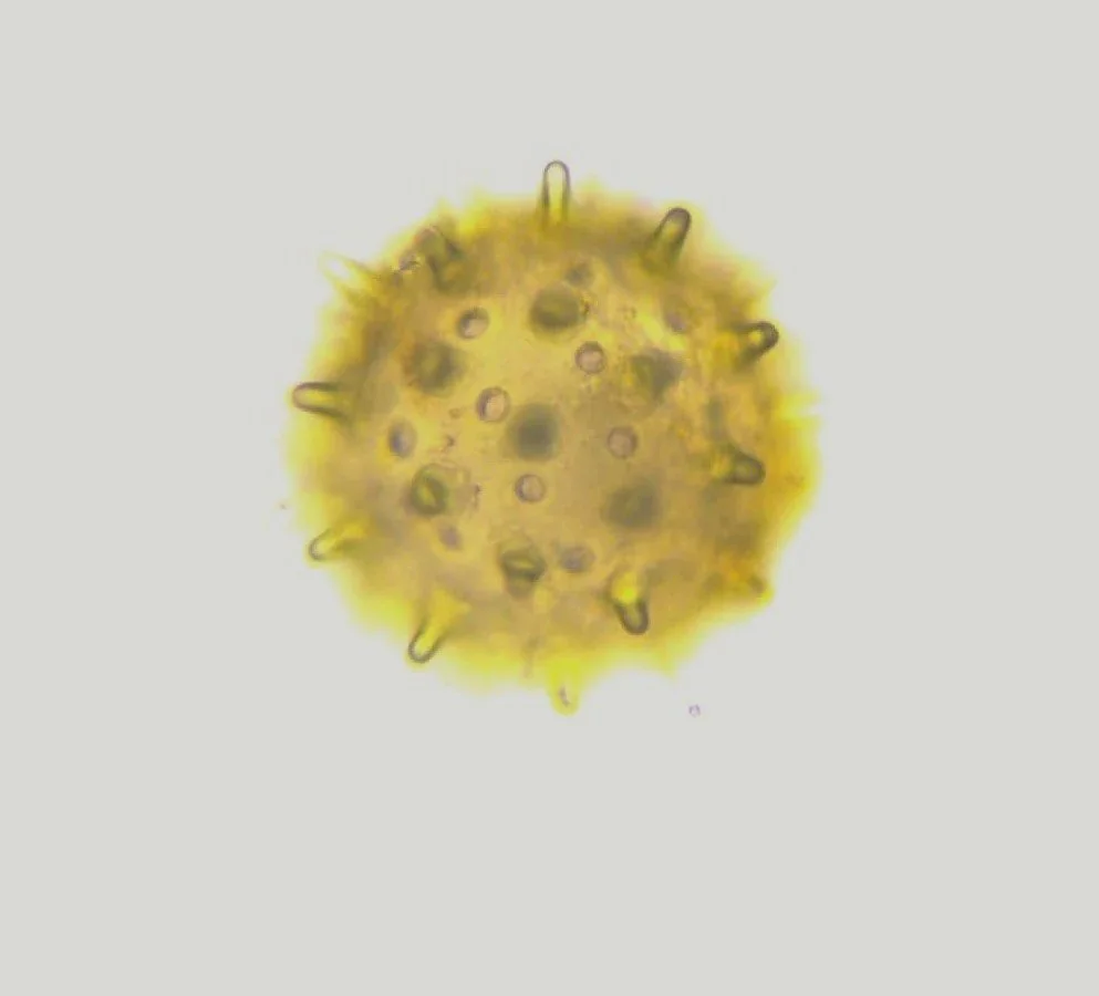
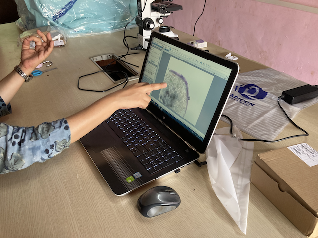
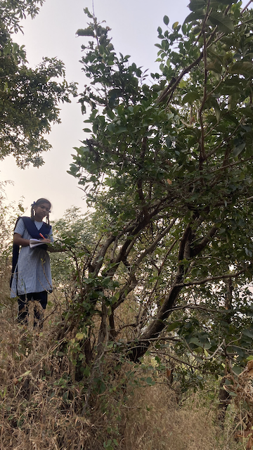
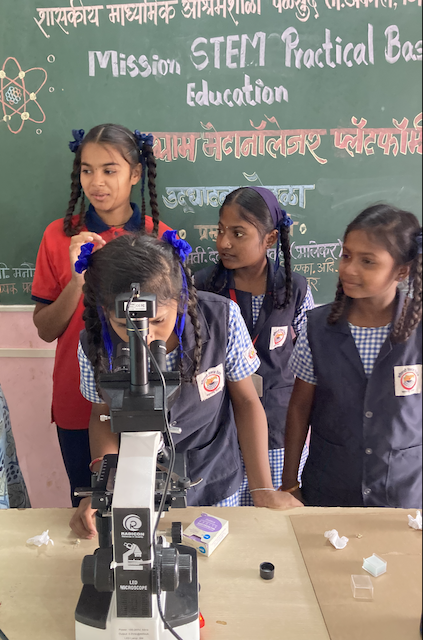
Alongside this system, students are being trained to conduct biodiversity documentation using microscopy and imaging tools. Soil chemistry, invasive species mapping, pollen analysis, and satellite observation are being integrated into a unified ecological dataset.
The long-term goal is to build a rural ecological intelligence infrastructure where:
Communities generate data.
Students engage in real scientific measurement.
Ecological degradation becomes visible and measurable.
Policy decisions can be evidence-based.
Fire monitoring is only the first layer of observability.
What Comes Next
We aim to:
Expand monitoring to neighboring talukas.
Integrate biodiversity metrics with fire frequency data.
Develop school-based ecological monitoring cells.
Collaborate with forest departments for faster intervention.
The objective is not to shame tradition. It is to replace ecological blind spots with ecological understanding.
At Scigram Technologies Foundation, we believe that protection begins with visibility. When soil chemistry, satellite data, invasive ecology, and community reporting converge, the hills are no longer silent.
They become measurable. And what becomes measurable can be protected.
To view the live dashboard, visit metaknowledger.org. To receive alerts or report a fire, join @scifirealerts on Telegram.